harapekoaomushi
harapekoaomushi100 (27)
JDirectItems Fleamarket
Other products in this store

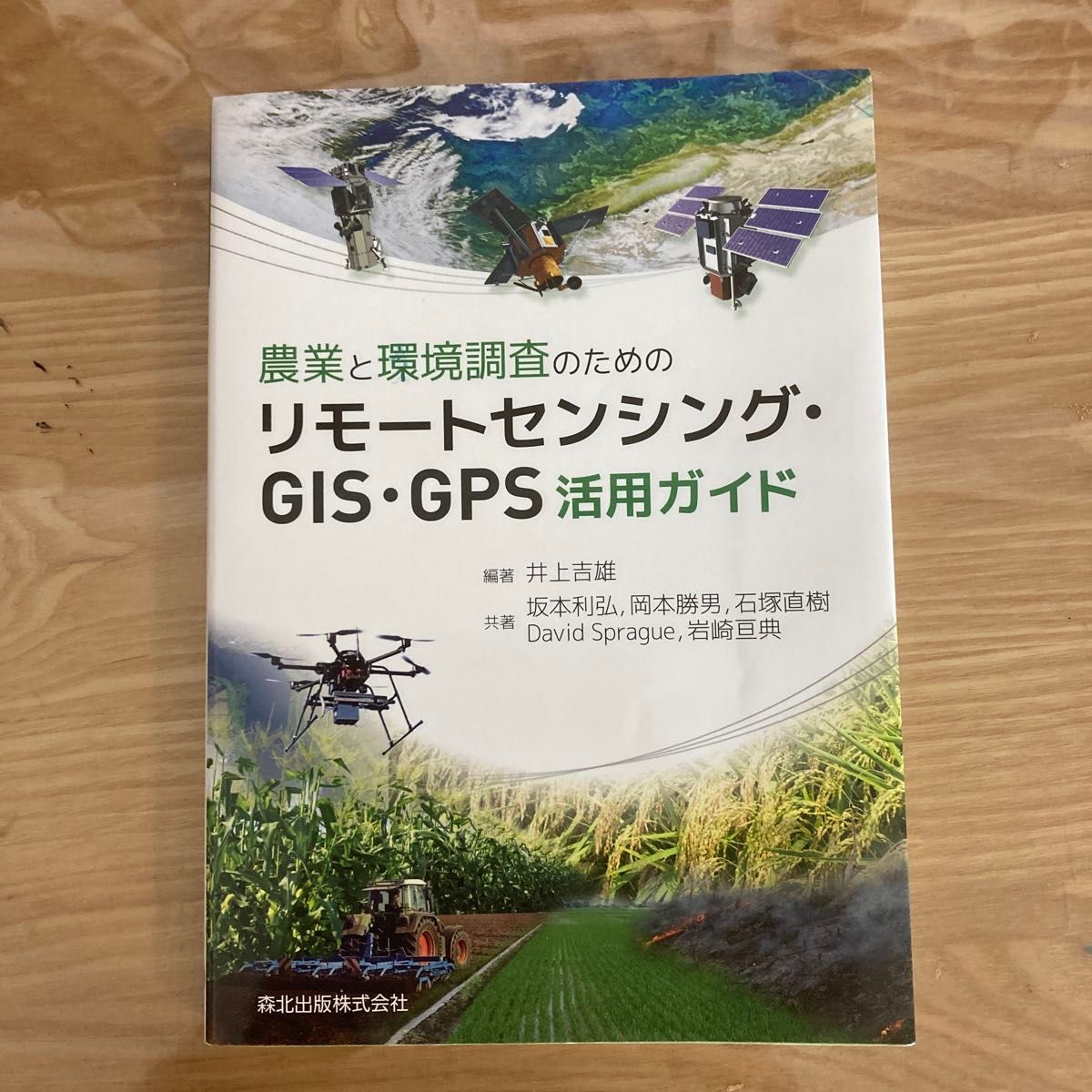
Guide to using remote sensing, GIS, and GPS for agriculture and environmental research

Original Product Link
Pre-ownedSource of goodsInsured Logistics Delivery
600 YEN
Quantity
1
Shipping
Domestic shipping fee in Japan:
Free shipping
Basic Information
Product status
No noticeable scratches and stains
Days to Shipment
Dispatch in 1-2 days
Source region
Kanagawa Prefecture
Ways of delivery
Otegaru Shipping (Yamat Transport)
Payment Methods
Debit/Credit CardDebit/Credit CardDebit/Credit CardDebit/Credit CardPayPal
Sorry, this product cannot currently be purchased. Please contact customer service if you need help.
JPfinds Shopping Process
Search
Find the desired item on the shopping platform and add it to your cart.
Shopping
Pay the 1st payment (product and service fee), and we will purchase it for you.
Warehouse
The item arrives at the warehouse and can enjoy 30 days of free storage.
Payment
Pay the 2nd payment (international shipping fee), and we will ship your items internationally.
Delivery
The package is delivered to your door. This typically takes 1 to 2 weeks.

Product Detail

農業と環境調査のためのリモートセンシング・GIS・GPS活用ガイド 編著:井上吉雄 出版社:森北出版株式会社 農業や環境調査における最新技術の活用方法を解説した専門書です。リモートセンシング、GIS、GPSの基礎から応用までが網羅されています。 【状態】 目立った傷や汚れはなく、綺麗な状態です。書き込みや折れもありません。 【内容】 農業現場でのドローン活用や衛星データ解析、位置情報システムの利用に関心がある方におすすめの一冊です。 よろしくお願いいたします。

UTC+9--:--:--
Cart
Customer Service
Help Center